What is the mission of the SME-RISE project?
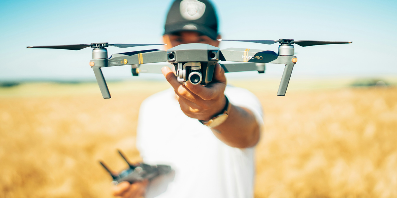
SME-RISE (Business Modelling Skills for Drone Entrepreneurs) is a 24-month Erasmus+ project that aims to strengthen the competitiveness of small and medium-sized enterprises (SMEs) and young entrepreneurs in the rapidly growing drone services sector.
Operating across Portugal, Greece, and Cyprus, SME-RISE focuses on equipping current and future drone entrepreneurs with the business, technological, and strategic skills needed to successfully enter, operate, and scale within a rapidly evolving market shaped by emerging regulatory frameworks. The project directly supports the EU’s digital and green transitions, while addressing concrete labour-market needs in vocational education and training (VET).
To achieve this, SME-RISE will:
- Develop a user-friendly digital business development platform that offers accessible learning resources, practical tools, and networking opportunities, enabling SMEs and entrepreneurs to continuously upskill, test business ideas, and engage with peers and experts across Europe
- Equip SMEs and young entrepreneurs with business modelling and market-ready skills tailored to the drone sector
- Support VET providers and trainers with up-to-date curricula, methodologies, and learning tools
- Promote youth entrepreneurship and innovation in emerging technologies
- Strengthen collaboration between education, research, and industry at European level
Project activities include curriculum development, VR-based training, a practical guidebook, an online business development platform, pilot actions, and extensive dissemination and exploitation activities.
What is Future Needs’ role in SME-RISE?
In SME-RISE, Future Needs plays a key role in both the digital implementation and the long-term impact of the project.
Future Needs plays a central role in designing and building the online platform that SMEs and young entrepreneurs will use, and contributes to the creation of practical business learning content that supports users in developing and growing drone-related services. In addition, Future Needs leads the project’s communication and outreach activities to ensure that project results are shared widely and sustained over time.
Specifically, Future Needs:
- Designs and develops a user-friendly online business development platform, including e-learning modules, interactive features, and a resource library
- Oversees platform testing, piloting, and fine-tuning based on user feedback
- Develops additional business development learning materials, covering topics such as costing, regulation, and social acceptance in drone services
- Leads the communication, dissemination, and sustainability strategy of the project
- Supports stakeholder engagement and ensures the long-term exploitation of project results
Through its role, Future Needs helps ensure that SME-RISE delivers practical, accessible, and sustainable tools that directly respond to the real needs of SMEs, VET providers, and young entrepreneurs.
SME-RISE aims to target:
SME-RISE focuses on reaching and supporting:
- Small and medium-sized enterprises (SMEs) operating in or aiming to enter the drone services sector.
- Young entrepreneurs and start-ups interested in developing innovative drone-based business models.
- Vocational education and training (VET) providers, trainers, and educators delivering entrepreneurship, business, or technology-related training.
- Adult learners and SME employees seeking upskilling or reskilling opportunities in drone services and business development.
- Industry stakeholders and policy actors working in innovation, entrepreneurship, and the drone ecosystem.
Which are the outcomes of the project?
SME-RISE is designed to deliver high-impact results for SMEs, educators, and the wider drone ecosystem:
- Creation of innovative, easy-to-use learning tools, including a drone business development curriculum, practical resources, VR-based training, and a modern online platform supporting continuous learning and collaboration.
- Empowerment of SMEs and young entrepreneurs with the skills and confidence to launch, grow, and scale drone-based services in a competitive market.
- Strengthening of VET providers’ capacity to offer future-oriented training aligned with digital innovation and labour-market needs.
- Active engagement of hundreds of participants across Europe, with thousands reached through online communication, knowledge sharing, and dissemination activities.